SenecaGIS
West Virginia Well Locations, API Numbers & Deed Research
Complete landman research tools for West Virginia: API lookup, chain of title, mineral rights, and shapefile downloads
Tailored for Oil & Gas Professionals
SenecaGIS is specifically designed for the unique needs of the oil and gas industry
SenecaGIS has transformed how we approach mineral acquisition and leasing. The accuracy of their well data and the comprehensive historical ownership information have given us a significant competitive advantage.
— Oil & Gas Professional, Appalachian Basin
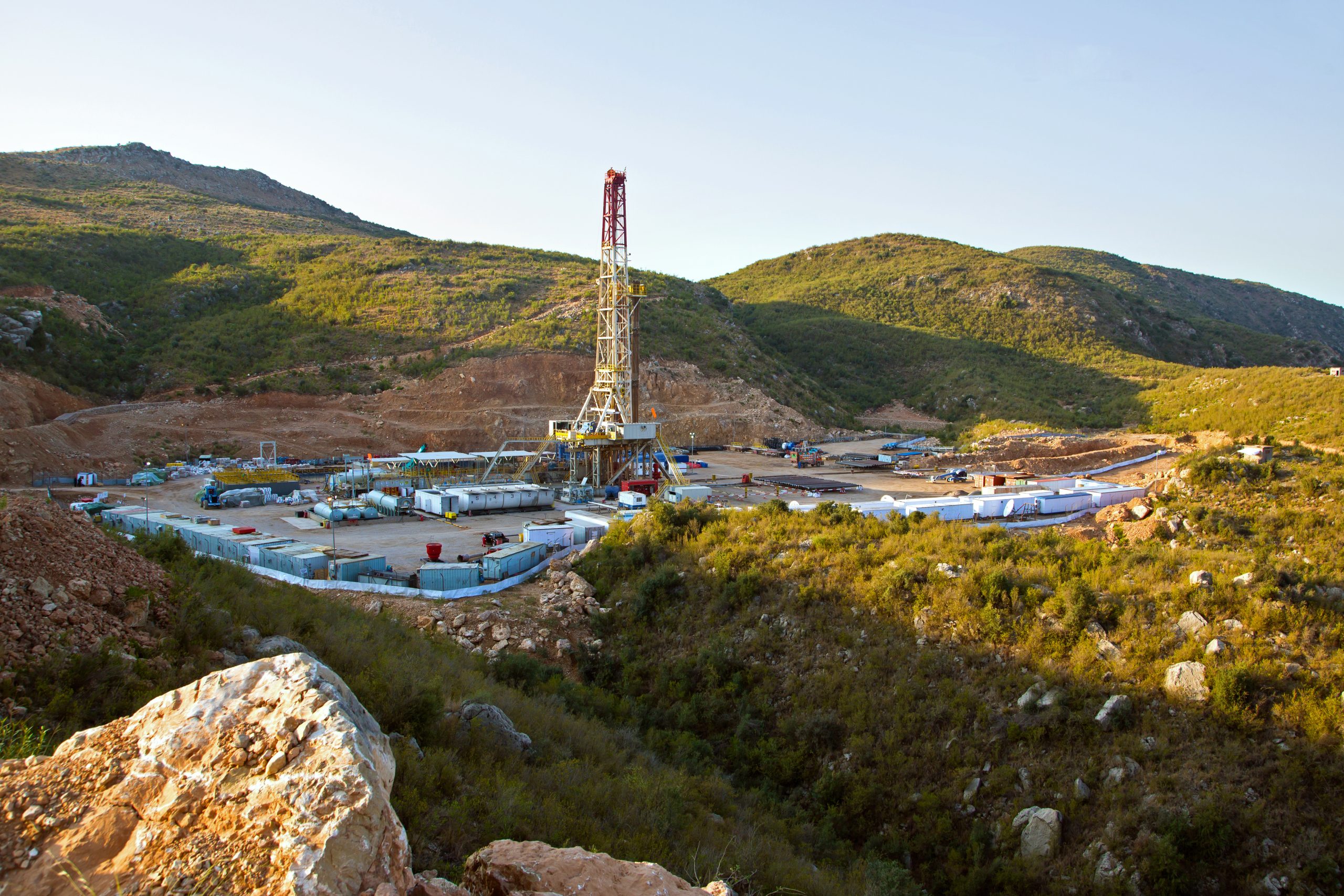
Complete WV Well Database with API Number Lookup
Search wells by API number, access deed records, verify mineral rights, and download shapefiles. Complete landman research platform for West Virginia.
Key Features
-
WV Well Location Mapping
Find and explore West Virginia well locations on detailed interactive maps with property boundaries and geological data dating from the 1920s to today.
-
Document Access
Instantly access well documents, permits, completion reports, and production data linked directly to mapped wells
-
API Number Lookup & Advanced Search
Search wells by API number, operator, county, well status, or property owner. Find wells by parcel number or verify well spacing units.
-
Shapefile Downloads & Data Export
Download shapefiles, export well coordinates as CSV, and access GIS-ready data for mapping software. Export parcel boundaries, well locations, and production records.
Professional Research Tools for Landmen & GIS Analysts
Complete suite of research tools including API number lookup, deed record search, chain of title verification, mineral rights tracking, and shapefile downloads. Access over 25,000 historic wells not found in state databases.
Complete Marcellus Coverage: All West Virginia Counties
Access well locations, deed records, and mineral rights data for Harrison County, Doddridge County, Wetzel County, Marshall County, Monongalia County, Tyler County, Marion County, Ritchie County, Lewis County, Preston County, Ohio County, Brooke County, Hancock County, Taylor County, Upshur County, Wood County, Pleasants County, Barbour County, and all other Marcellus drilling regions throughout West Virginia.
Why Choose SenecaGIS?
Most Accurate WV Well Locations
OGIS-digitized West Virginia well locations proven more accurate than state DEP data, reducing costly location errors and ensuring precise mapping
Complete Well Location Database
Access over 25,000 historic WV well locations missing from state databases
Weekly Updates
Our expert GIS technicians verify and update the database weekly with the latest well and lease information
Full Support
Our dedicated team is ready to help with any questions, training needs, or custom data requests
Weekly Database Updates: Verified by GIS Experts
SenecaGIS isn't just built on superior historical data—it's continuously updated for maximum accuracy
Each week, Seneca Technologies' expert GIS technicians update the database, ensuring well and lease information is the most precise and reliable available:
- Verifying permitted & as-drilled WV well locations using original filing documents
- Mapping horizontal laterals with precision, cross-referencing survey plats for exact well locations
- Checking West Virginia well locations against parcel boundaries for accuracy
- Updating well status information (spudded, drilled, producing, plugged, etc.)
- Identifying newly permitted wells before they appear in other databases
Ready to Transform Your Oil & Gas Operations?
Contact us today to learn more about SenecaGIS or to request a free demo.